

 Nine Andres
Hiking Trails: Mt. Daguldol
Whether you’re a weekend warrior seeking a refreshing escape or have an alternative work schedule that offers you free time during weekdays, here are three concise yet compelling reasons to spend your well-earned time off exploring the stunning beauty of Mt. Daguldol.
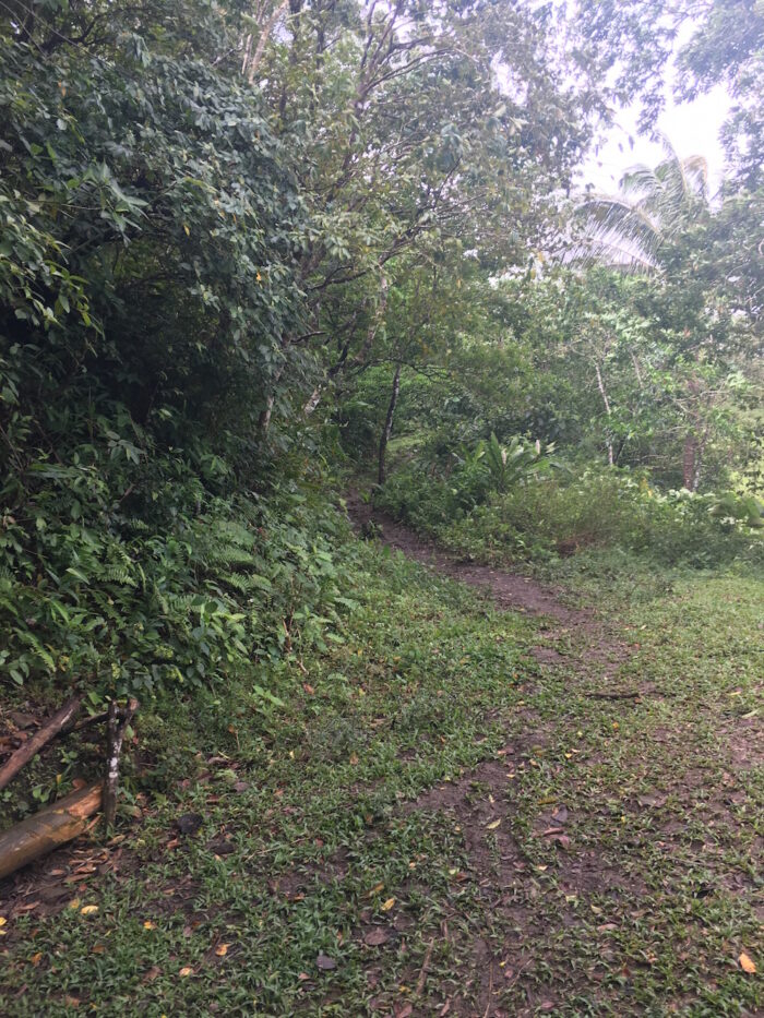
That damp & slippery path
1. It’s near Manila.
At 672 MASL, Mt. Daguldol is conveniently located in San Juan, Batangas, which is just a few hours from the metro. You can get there by bus + jeepney (Lipa-San Juan-Brgy. Hugom) for around P220 one way. Earliest trip to Brgy. Hugom is at 4am, last trip at 8pm.
Hiking Mt. Daguldol also requires a guide at P400 one way. The route going back is the same. If traveling solo, choose TrailAdventours for a hassle-free alternative. Booking online is a breeze with them.
The hike was a SmartBroTrip, which means there are freebies (lanyard, waterproof pouch, and towel) and free wifi for us to use during the climb. Convenient eh?
2. Quick & Painless.
At 4/10 trail difficulty, you can do a day hike at 3-4 hours to summit, 2 hours descent on a well-established path. The trail was muddy when I climbed it last February, so be sure to wear proper footwear as it gets very slippery. Don’t be shy about using your hands and knees too, as there are steep parts on the ascent. Sections of the mountain were also not visible due to the fog and flora (canopy).
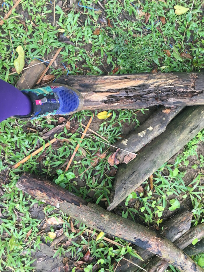
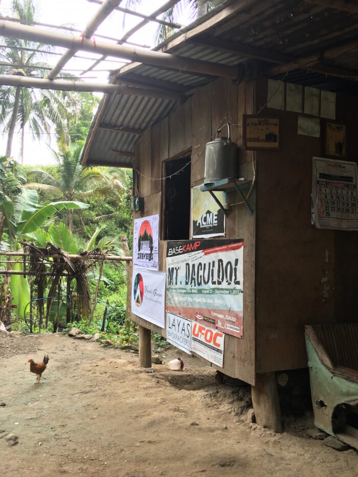
There’s also a good rest stop almost halfway through where you can buy fresh ‘buko’ and halo-halo. They also serve packed lunch and offer a restroom for P5 per use.
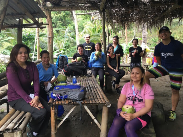
3. Mountain & Sea Escape.
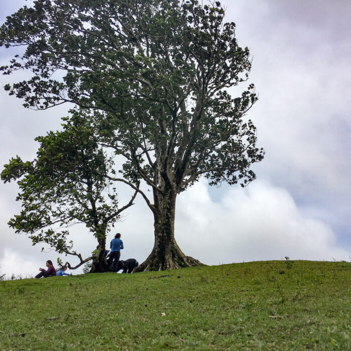
The most unique feature of Mt. Daguldol is its rolling hills.
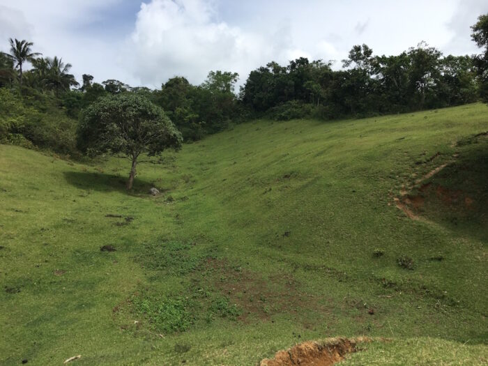
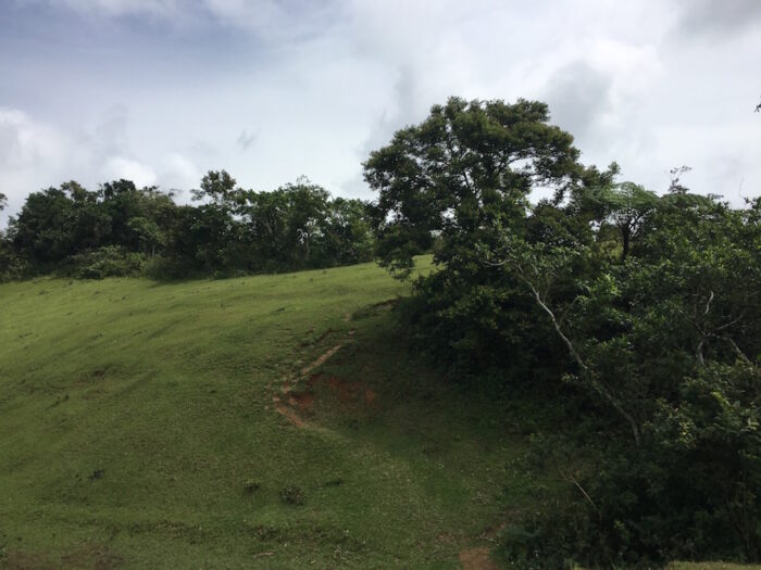
It’s like a well-tended golf course! It’s a wide-open space you can immediately imagine as an event venue. Our guide said it fit a couple of hundred people during a mass one time.
The 3 campsites are in this area, namely: Campsite 1 – Gulugod-Baboy, Campsite 2 – Niyugan (Niyog means coconut, which abounds in the area and Campsite 3 – Anahawan.
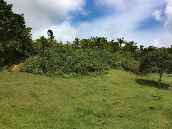
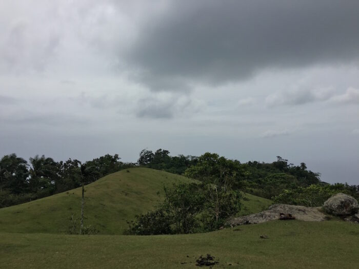
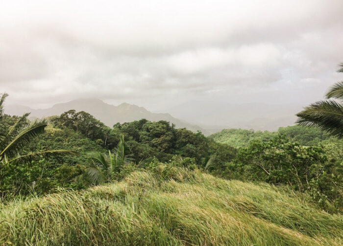
The view is spectacular, showcasing Laiya’s beachfront and the nearby summit of Mt. Naguiling.
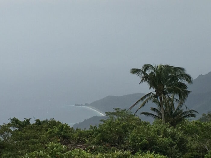
At the feet of Mt. Daguldol are the beaches of Laiya. The sands are neither powdery nor white, but it is still a sight to see, especially after a hike. It was raining then, so the waves were strong; we only got our feet wet.

I hope those 3 detailed reasons can get you off the couch and on your way to your next adventure in Mt. Daguldol. Here’s a bonus reason – hiking makes you happier. Nuff said. Happy trails!
Enjoy 20% off
the most exciting Smart Bro Trips if you’re a Smart Bro Pocket WiFi subscriber! Book with Travel Factor and Trail Adventours now! For more information about #SmartBroTrips and Trail Adventours, go to smrt.ph/smartbrotrips. Also, check out http://smart.com.ph/bro for Smart Bro’s latest line-up of gadgets and services.
Follow and subscribe to OutofTownBlog.com on Facebook , Twitter, Instagram, Pinterest, and YouTube for more Travel-related updates.
Read:
- Summer Trek: Five Mountains Perfect to Hike this Season
- Hiking Trails: Mt. Batulao, a comfort zone
- From Strolls to Summits: Decoding the True Difference Between Hiking and Trekking
- Top 8 Reasons to Visit Vietnam
- TAAL TRAVEL GUIDE: Best Activities, Hotels & Itinerary